The Ricoh Theta SC boasts a battery life of 260 photos. I was able to extend this as follows:
Shooting with the camera manually and with WiFi turned off, I was able to take 840 photos in 2 hours 20 minutes (averaging 6 photos per minute). There was still life in the battery, but after a 7 mile hike, I ran out of legs.
Recording my walk using the Strava sports tracker, and downloading a GPX file I am able to use Adobe Lightroom maps (other free utilities are available) to tag the images with the corresponding GPS coordinates in about 60 seconds.
I just used Strava to download a GPX file of my route, and was able to import this into Adobe Lightroom maps, and then tell it to tag my images with the data. Takes about 30 seconds total. There is other GPS geotagging software that will do this too.
How do you sync up the specific GPS coordinate with each picture? If there are 840 pictures, are there 840 GPS coordinates. If so, how do you capture each GPS coordinate?
This is interesting, but I’ve never used this technique before. I’ve always used the mobile app to add the GPS coordinates to my pictures. This technique saves a lot of battery.
Do you set Strava to take a GPS coordinate every 10 seconds and then manually press the shutter button every 10 seconds? Or, does lightroom automatically match up the date/time stamp embedded in the metadata of the image?
I just start Strava, and at the end of my activity, it lets me download a GPX file of time-stamped GPS coordinates. Looking at the GPX file, it seems that Strava is logging every 2-5 seconds (see sample below).
I make no attempt to synchronise any shots, so I guess that Lightroom Maps either tags the photo with closest datetime, or, it interpolates; so even if the GPX file took readings every minute, it should be able to make work out an approximate sequence of times/GPS coordinates. There is an overview of the process in this YouTube video: https://youtu.be/WblOL70cwzE
The only downside is that Strava sometimes crashes, and I lose my data from a specific time, so I’m searching for a suitable backup App that also logs GPS.
Thanks for this information. I keep forgetting that the RICOH THETA stores a date/time stamp using the internal camera clock. I’m trying to remember, but I guess this clock is automatically set for the camera when you connect your camera to a mobile phone?
I’m wondering if the photographer needs to set to internal camera clock somehow or if the camera clock ever gets reset if the camera runs out of battery.
Recently the UK clocks changed back from daylight saving time. Since I hadn’t connected my phone to the camera, all my images had a date stamp that was out by one hour.
Going through the GPX file and searching and replacing the correct time was straightforward. For times that may drift by a few minutes, Lightroom Maps lets you offset the track time by any amount you want.
Thanks. I suspect that new users may need to connect the camera and phone at least once in order to set the internal camera time correctly. I’m not sure about this, but I think it’s likely to be the case. It’s a great way to save battery as the Wi-Fi will suck down a lot of power.
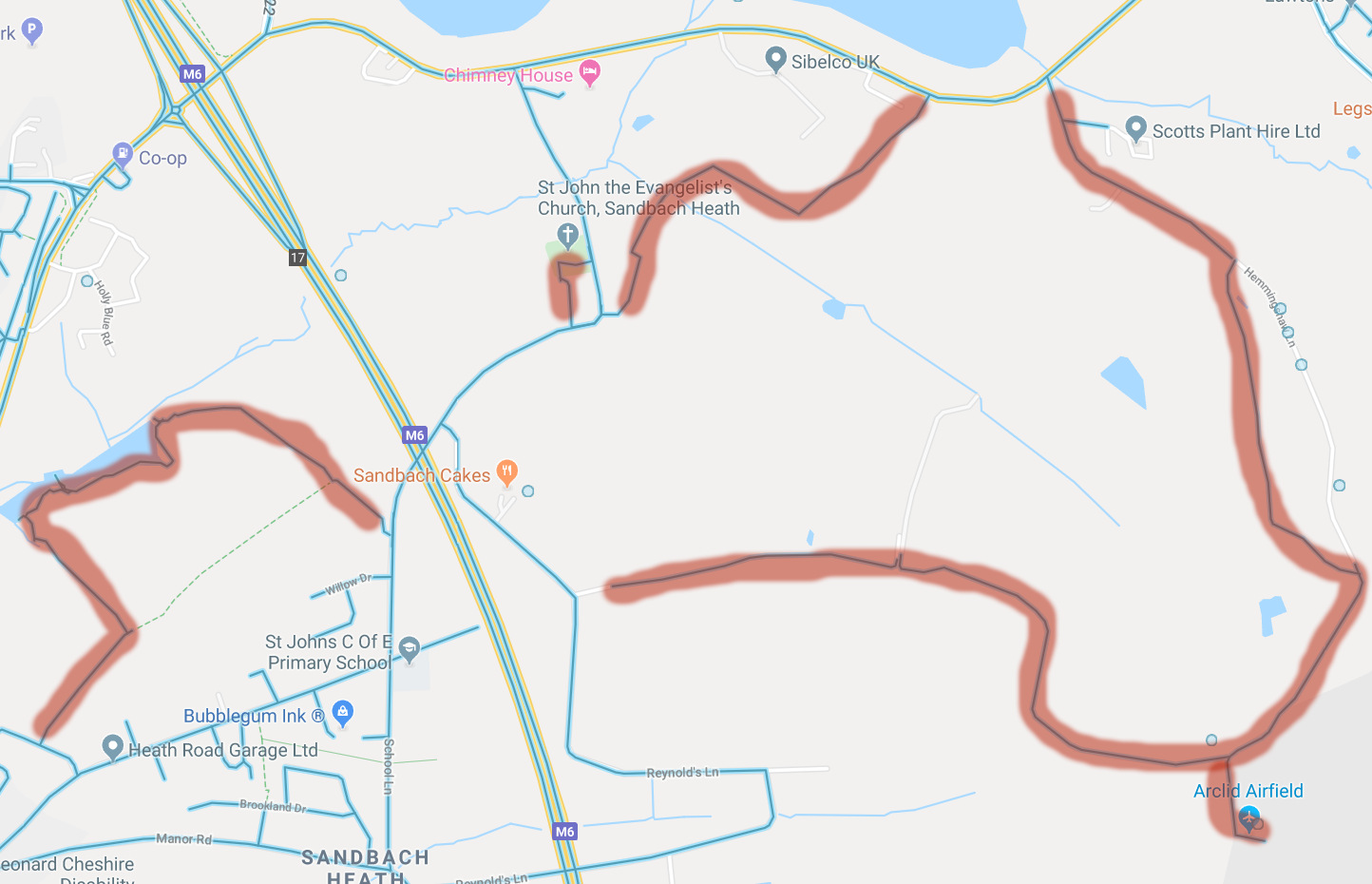
Would be interested in seeing your trail map if you’ve posted it to Google Maps.
Wow, great job with that. It feels like I’m there. I love this Google Streetview sub-culture. It’s really interesting to connect with the photographer behind the trail. Fantastic blue of the sky contrasted with the green of the fields. Almost like out of an English storybook.