craig
1
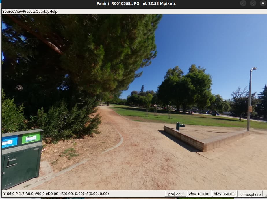
I wanted to confirm that the THETA X interval shots had GPS coordinates.
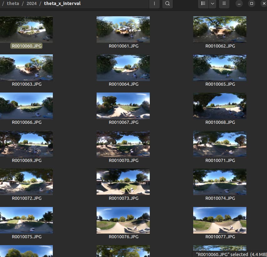
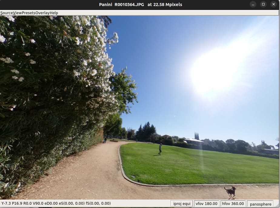
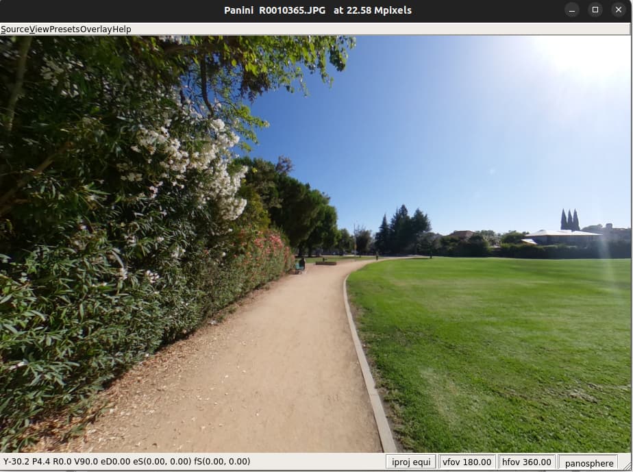
Using Interval settings with pictures spaced 6 seconds apart.
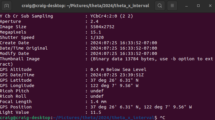
I transferred the images from the camera to my computer and then used exiftool to show the metadata.
The GPS data is stored in the metadata as degrees, minutes, seconds.
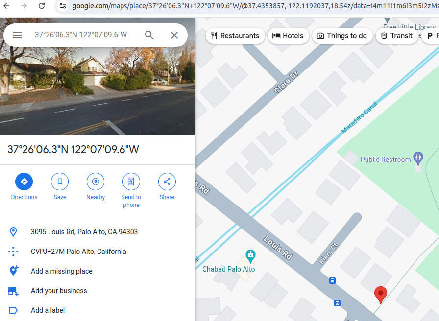
Google Maps accepts this in the search box.
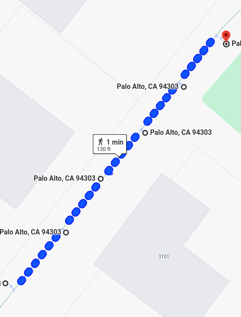
The 6 second difference shows me moving about 30 feet.
The third picture is another 26 feet beyond the second
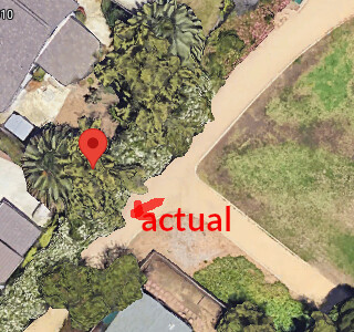
The metadata shows the GPS location of the third image as this:
GPS Position : 37 deg 26' 6.71" N, 122 deg 7' 9.13" W
After 6 shots, the position appears to be accurate.
2 Likes
craig
2
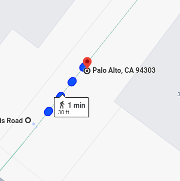
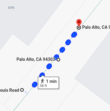
Z1 Tests
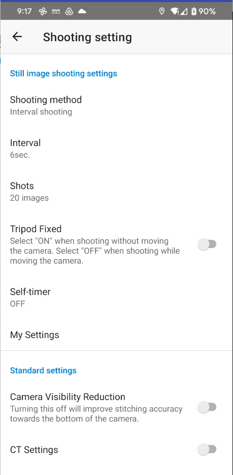
Set to interval shooting, 6 sec interval, 20 images, tripod fixed off
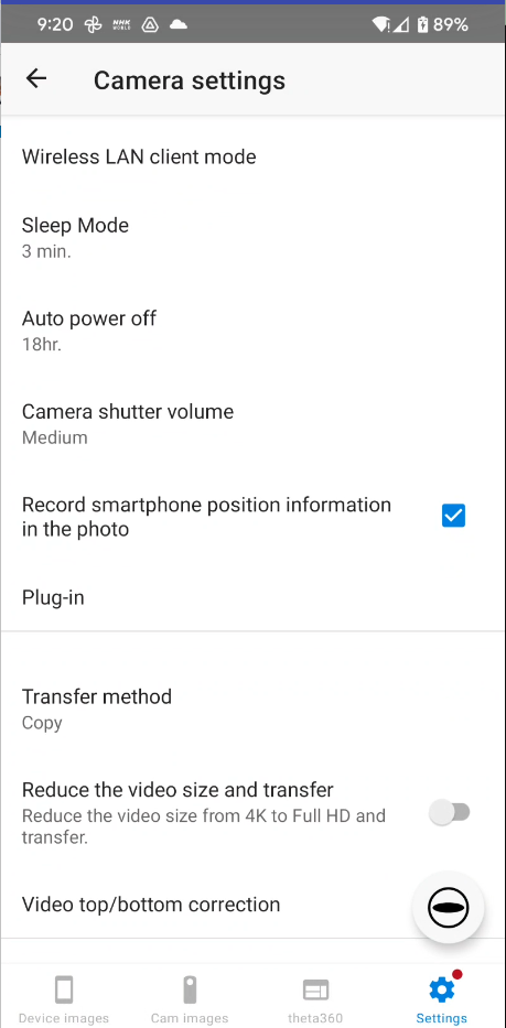
“Record smartphone position information in the photo” is checked.
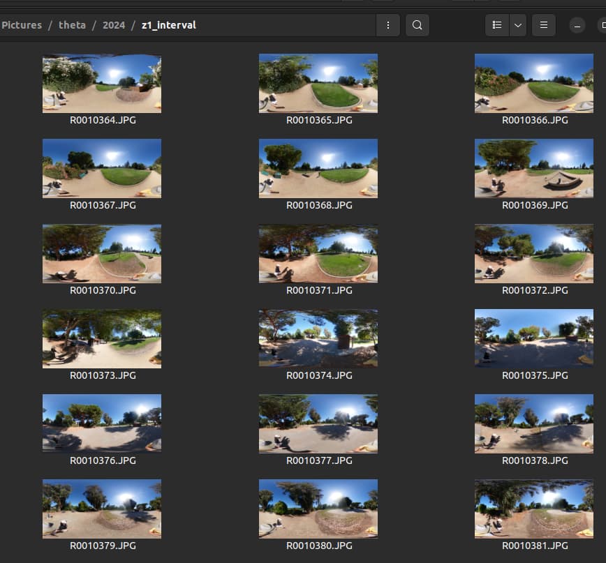
Test Images, JPG, Z1
confirm GPS information in metadata with exiftool
GPS Altitude : 29.1 m Below Sea Level
GPS Date/Time : 2024:07:26 16:29:20Z
GPS Latitude : 37 deg 26' 7.09" N
GPS Longitude : 122 deg 7' 8.95" W
Ricoh Pitch : 0
Ricoh Roll : 0
Focal Length : 2.6 mm
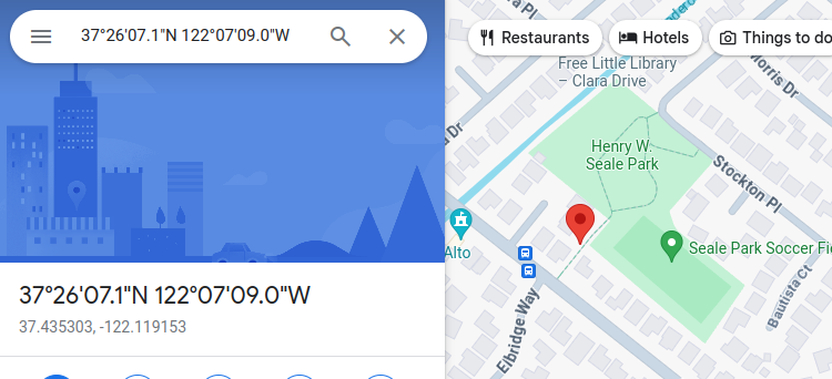
GPS Position : 37 deg 26' 7.09" N, 122 deg 7' 8.95" W
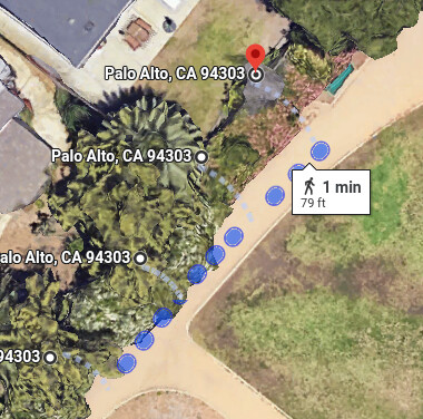
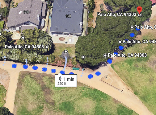
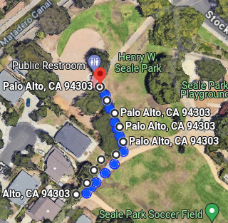
confirm on Google Map
Using terrain layer, the accuracy looks a bit off.
Refer to this article on GPS accuracy of mobile phones and thus the THETA.
The placement of the blue dots does look accurate
1 Like