Easiest workflow to use your ThetaZ1 & becoming a Google Local Trusted photographer

Hi all, eager to become a Google Local Trusted photographer yet trying to take images and sync with the Google Street View app can’t happen. Not if you have a Z1. Anybody have a recommendation for quickly taking satisfactory 360 images and uploading the min. 50 x 360 images in order to be a trusted photographer? Want to do it rather quickly as I have a few locations in mind.

I firstly considered using the fish eye lens plugin but the post production work is huge. I am now considering using the TimeShift plugin to take these 50 photos and just upload.

Keen for your thoughts!

Cheers,

Nick

@Nick_Pape , it’s been a while since I looked at Streetview. I’m not sure what the current terminology is.

Are you trying to get the badge like this?

image

If this is what you’re looking to do and not get the highest quality images, but just a good number to get badges, then you can do this.

  • Use JPG, auto settings, non-HDR
  • use a selfie-stick and hold it above your head
  • if you want to lower the shot, crouch down. you can wear a broad-brimmed hat to further hide yourself
  • use self-timer mode to save time and not have to use your mobile phone
  • walk around a shopping district or nature area and take 50 shots using this technique
  • upload to Google Streetview

If you are taking in low-light conditions with some bright lights, you can also try handheld HDR

If you want more control of the shot, then use the process above and connect to your mobile phone.

If you want more professional shots as a showcase, you can use the timeshift plug-in and a tripod.

The advantage of the timeshift plug-in is that you can stay close to the Z1 so that it doesn’t tip over.

Cheers @craig, great help. I want to become a Google Street View Trusted photographer vs. a Google Local Guide.

The badging can be put on my site and name listed on the Google Trusted Photograher site.

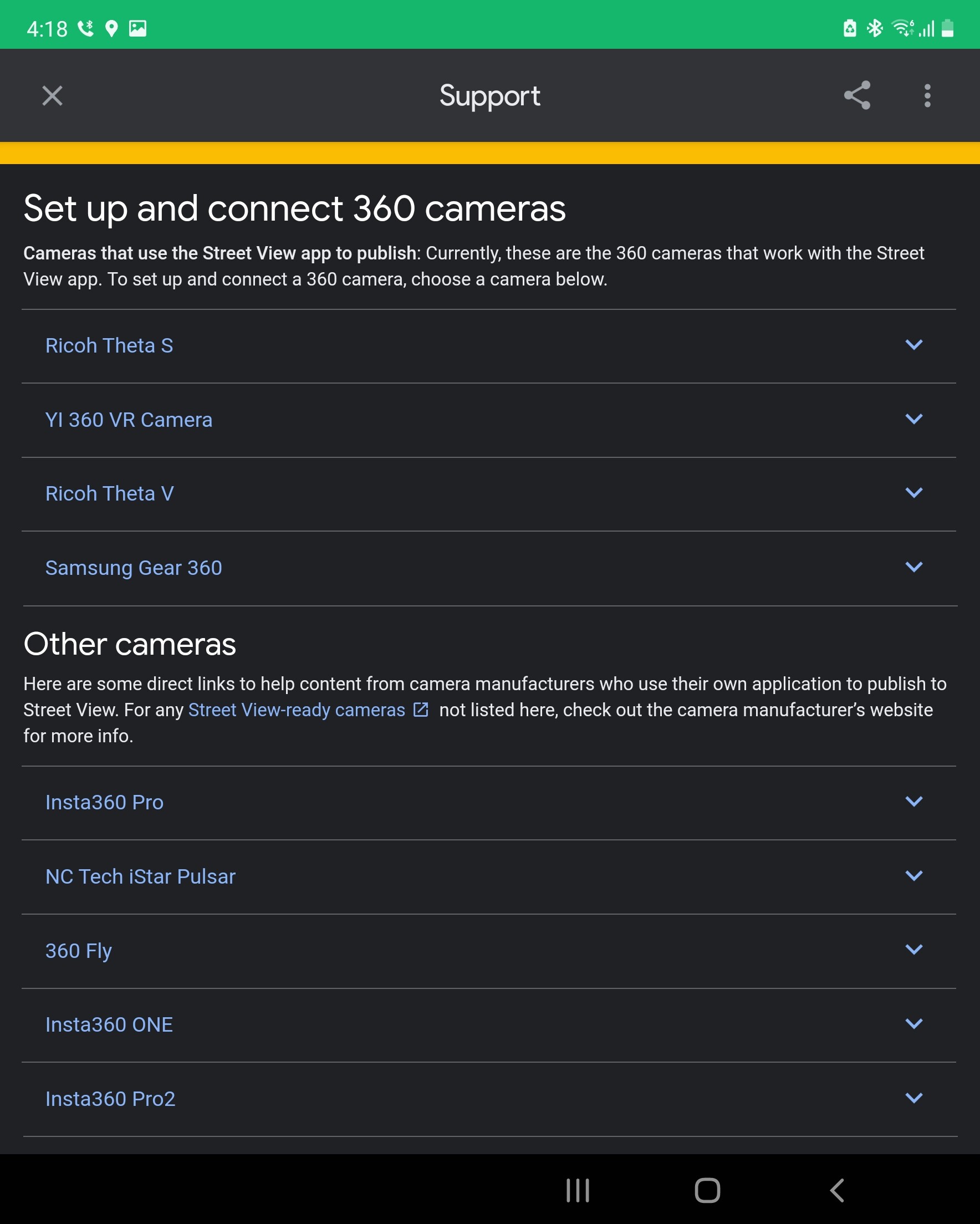
The Street View app unfortunately doesn’t work with the Z1. SC2 absolutely, but not the Z1. Not sure why. You’d think it is just an (Ricoh) ecosystem requirement vs. specific cameras within.

Appreciate the help once more.

Can you take 50 photos with the Z1 and then use the web browser at your studio?

  1. Use the official RICOH THETA mobile app or equivalent to take the shots
  2. on your laptop, connect your Z1 with a USB cable. transfer the files over
  3. go to maps.google.com in a web browser. Search for the location you just shot
  4. add the photos

There may be better tips on the Facebook groups.

Does this workflow no longer work with the Z1?

Guess as I’ve got a Z1 the work flow doesn’t work for me. So wish Google Street View app would include the the Z1!

Either way, the recommendations make sense and I’ll start attacking it.

As far as I know, the Z1 will only connect with the Street View app in video mode, not in photo mode.

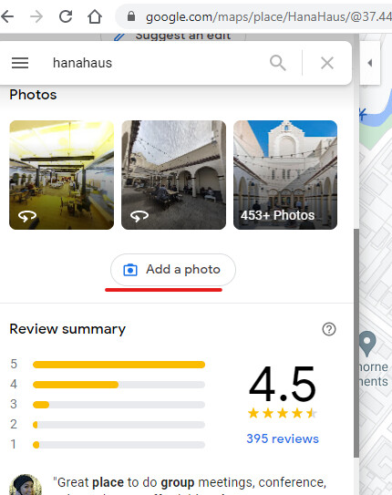
I haven’t tried video mode, but I got my first 50 panos uploaded and validated by taking jpg shots along a local rough road/path, controlling the Z1 with the app on my phone (absolutely necessary otherwise your photos won’t be GPS stamped). I then removed the nadir (me and the selfie-stick held above my head) from each photo in Photoshop before importing them into 3DVista, which I used to connect the photos, place them properly on the map, then upload them to GSV. Pano2VR would have been a better option as it is cheaper to buy and will remove the nadir in bulk mode (and has many other GSV functions, so worth investing in if you have several other locations in mind). Or you could just transfer the photos to your phone and then upload them to GSV via the GSV app (although I suspect the app may be more stingent about spacing between photos).
Google recommends taking photos no more than 8 metres apart, but sometimes I stretched it to 10 metres when I had good line of sight, and that worked fine (perhaps because I pre-connected and repositioned them beforehand in 3DVista)

There were a few bugs in my upload with one or two photos not connecting to their neighbour (despite being connected in 3DVista), but you still get your trusted photographer badge …!

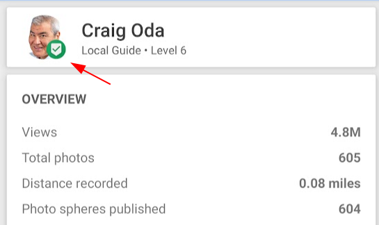
Be warned that the online register of trusted photographers doesn’t list new photographers for the moment, so don’t expect to get listed. But you will be able to use the badge in your marketing materials

1 Like

@Tim06 thanks for sharing your workflow. I was hoping that a “real” photographer like you would provide an answer. :camera: :3theta_s: :theta:

Hi, there.
Unfortunately, SV app is dead.

Good luck!
Toyo

What’s the current process to create the “blue line” style of connected photos? For example, if you go out hiking and want to create a tour of the trail?

Hi,
You can still create Blue dotted Lines on Maps with using AR-Core compartible Android phones. However, those are not 360 images.

I haven’t tried it.
Toyo

Wow, that’s kind of sad. The bluelines technique was a nice hobby to share different areas of the world.

Did you give up on the bluelines tours hobby you were working on last year?

1 Like

No. never… I’m not a hobbyist :grin:

1 Like

Nice! Great to hear that you’re still producing your awesome tours. Were your professional tour shoots impacted by COVID restrictions?

Love this! What are you working on recently? Do you have any examples you can share?

You can see the world of “Ghost of Tsushima” from the boat.

1 Like

Pretty cool! I’ve spent a fair amount of time watching the videos from the Ghost of Tsushima over the past 9 months or so. Good looking game. Fun to see some of the real landscape.

I tried using Time Shift for a Google Street View tour a few days ago and I was horrified to discover (after shooting 79 photos) that there was no GPS data in the files (dng and jpg).

It was a real chore georeferencing every image by hand.

Hi, @mcworen
It depends on your smartphone. Check the Settings>>Location>>App access to location>>Theta app.

And good luck!! for your next shooting.
Toyo

Theta app has location, storage and camera permissions enabled. It’s very strange.

Did you use the DualFisheye Plugin Remote, a $18 app? It should inject the GPS information.

https://play.google.com/store/apps/details?id=hirota41.com.dualfishcontroller