Tested JPG2GSV beta version to instantly publish a single pano on Maps
Hi, folks.
JPG2GSV is one of the useful tools including UL2GSV suite developed by @Dean_Z . Thanks Dean. I’m so proud of the donation last year as an ocassional user.
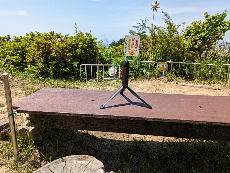
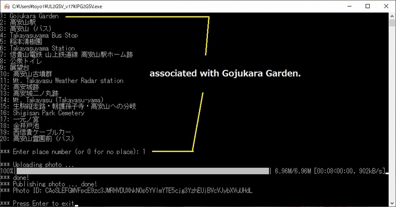
Just drop your pano on the desktop shortcut and select the location on the list. No.1 is the nearest Map’s POI in the exif data.
View in GSV;
Shot on Theta Z1 normal HDR(DNG) developed in Lightroom Classic and RTS.
The image quality is irrevant. Resistance is futile.
You want to know how to use it?
If so, you should contact Dean to get the beta version.
Good luck!
Toyo
1 Like
Another test result is shown as below.
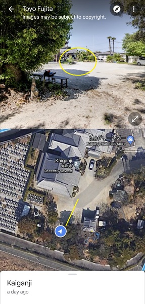
Google Maps app for Android, Split view mode.
Kaigan-Ji Temple (established in early 17th. Century, Edo era in Sakai)
“Blue Dot” is very accurately displayed on Maps. Also the compass is perfect.
View in GSV; (This image was not captured in Theta camera. Sorry for that.)
|
|
|
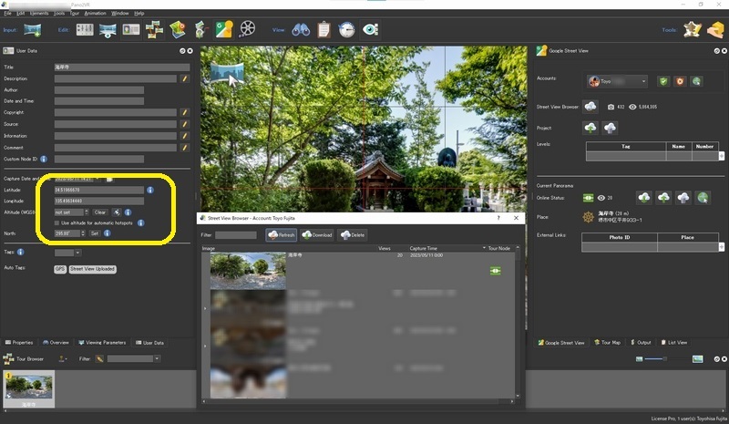
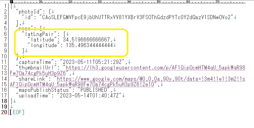
I tried to grab the image from my contribution through Pano2VR / SV browser and checked it. The location data is very accurate. Compare it with the log file of JPG2GSV.
“latitude” : 34.5196666666667
“longitude”: 135.496344444444
Any questions will be welcomed.
Toyo
2 Likes
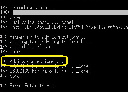
JGP2GSV beta 5, added the new option “-c” to connect panos each other on Maps.
|
It’s great news for the users who dislike to pay monthly subscription.
|
Check the result on Maps, here.(Nippon-Maru Memorial Park)
Toyo
3 Likes