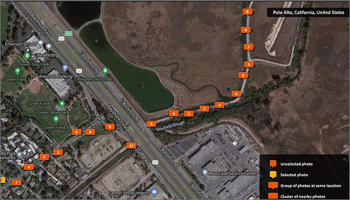
If you take still images, the RICOH mobile app can add the GPS coordinates for individual pictures automatically. Other people can comment on the ease of use.
Trying to Maintain Accurate GPS tags on my Theta Z photos - #8 by craig
It seemed reasonably accurate in my tests above.
There is free software on this forum to combine the GPS data file on your mobile phone (with a GPS logger) with the video.
See this by @Dean_Z
Theta Z1 GPS track in VIDEO files - #11 by Dean_Z
You can get the images as still images and put them in your VR headset as a test of quality.
Oculus Go Plug-in Enables Direct Connection Between THETA V and Headsets
Z1 DNG RAW image samples
THETA Z1 Sample DNG RAW Images
SC2 image sample (enter an email for immediate access)
RICOH THETA SC2 Developer Information
You may be able to find other sample images
